

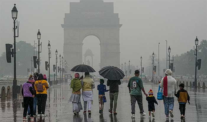
Delhi received a second consecutive day of relief from the intense summer heat on Saturday as gusty winds, thunderstorms and scattered showers kept temperatures well below seasonal averages and helped deliver the city’s cleanest air in more than seven months.
According to the India Meteorological Department (IMD), the maximum temperature settled at 37.1°C, over three degrees below normal, while the minimum temperature was recorded at 24.6°C.
The weather also brought a significant improvement in air quality. Delhi’s Air Quality Index (AQI) dropped to 85, placing it in the “satisfactory” category and marking the cleanest day since October 8, when the AQI stood at 80.
Saturday was the fourth day this month that Delhi recorded “satisfactory” air quality, following similar readings on May 4, May 5 and May 8.
Rainfall and strong winds swept across parts of the capital during the afternoon after the IMD issued a yellow alert for thunderstorms and rain. Most weather stations recorded precipitation between 2.30 pm and 5.30 pm, with Mayur Vihar receiving the highest rainfall at 4 mm. Lodhi Road recorded 3.8 mm, while Safdarjung, Pitampura, Pusa, Ridge and Ayanagar also received light showers.
As weather conditions intensified, the IMD upgraded its warning and issued a red alert for parts of north, northwest, west, southwest, central and northeast Delhi, forecasting severe thunderstorms with wind speeds of 60-80 kmph.
Neighbouring NCR cities also received weather alerts warning of thunderstorms, lightning and strong winds. The adverse weather briefly disrupted air traffic, forcing three flights bound for Delhi’s Indira Gandhi International Airport to be diverted to Lucknow.
The IMD has issued a yellow alert for Sunday as well, predicting generally cloudy skies, light rainfall, thunderstorms and gusty winds reaching 40-50 kmph.
However, meteorologists said the respite from the heat is likely to be temporary. Maximum temperatures are expected to rise gradually from Monday and could reach 40°C to 42°C by June 4. After a couple of days of partly cloudy conditions, clear skies are expected to return later in the week.
Weather experts attributed the rain and thunderstorms to a western disturbance that triggered cyclonic circulation over the Punjab-Haryana-Chandigarh region.
Mahesh Palawat of Skymet Weather said Delhi could still witness one or two isolated heatwave spells in June, but periodic pre-monsoon showers and thunderstorms are expected to provide intermittent relief from the heat in the coming weeks.
Comments are closed.